Breezy Skies and Passing Showers: What to Expect Across the Gold Coast
A Transition to Brighter Skies
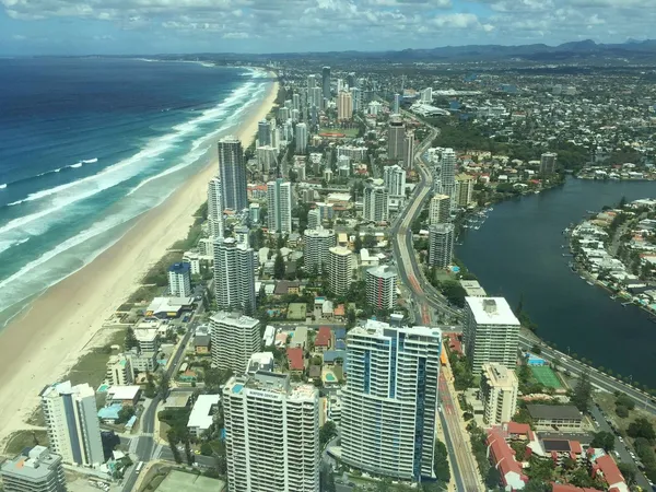
Following a period of significant rainfall across Southeast Queensland, the Gold Coast is entering a transition phase this Tuesday, 10 March 2026. While the heavy deluges of the past 48 hours are beginning to subside, residents and visitors should keep their umbrellas within reach, as the region remains under a moist and breezy air stream. Today offers a mix of lingering dampness and the welcome return of warmer temperatures.
Morning: A Damp Start to the Day
Early risers can expect cloudy skies and a medium chance of showers throughout the morning. Local forecasts suggest a 60% to 70% probability of precipitation, with rainfall totals expected to remain light, generally falling between 1mm and 5mm. The day begins at a mild 21°C. While the intensity of the rain has decreased compared to Monday’s totals, the Bureau of Meteorology notes that showers are most likely during the morning hours. Commuters are advised to exercise caution on the M1 and local roads, as surface water may still linger from previous heavy falls.
Afternoon: Peeks of Sun and Extreme UV
As we move into the afternoon, the Gold Coast will see the mercury climb to a pleasant maximum of 29°C. The cloud cover is expected to become more fragmented, allowing for occasional sunny spells. However, do not let the cloud cover deceive you; the UV index is forecast to reach 'Extreme' levels today. Sun protection is mandatory for anyone spending time outdoors. Humidity will remain relatively high at approximately 71%, which may make the air feel slightly warmer than the actual mercury reading.
Evening: Conditions Stabilizing
By the evening, the chance of showers will diminish significantly as the weather system moves further offshore. Skies are expected to clear, leading to a much calmer and cooler night with a low of 21°C. This shift marks the start of a drying trend that is expected to continue through the middle of the week.
Wind and Safety Advisories
- Winds: Southerly winds will be a notable feature of today’s weather, consistently blowing between 20 and 30 km/h. Those planning marine activities or visits to the beach should be prepared for these breezy conditions.
- UV Protection: With an Extreme UV rating, the risk of sun damage is high even during overcast periods. Broad-spectrum SPF 50+, hats, and sunglasses are strongly recommended between 8:30 am and 4:00 pm.
- Rainfall: While no severe weather warnings are currently active for the Gold Coast today, the ground remains saturated. Residents in low-lying areas should remain vigilant.

Exclusive French Wine Dinner and Ancient Pompeii Exhibitions Highlight Monday on the Coast
Post-Slam Highs and Olympic Horizons: Your Gold Coast Monday Briefing

Monday Commute Alert: Heavy Delays on Gold Coast Highway and Rail Impacts Begin