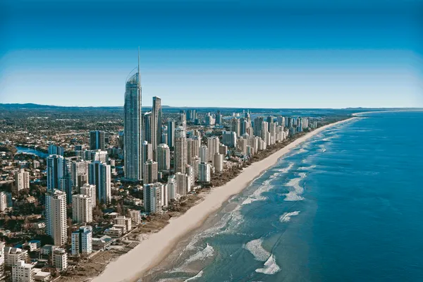
Early Dampness and Brisk Southeasterlies: Your Gold Coast Saturday Outlook
Morning: A Showery Start to the Weekend
Residents waking up on the Gold Coast this Saturday, March 14, 2026, should prepare for a slightly damp start to their weekend. Forecasts indicate a medium chance of showers—approximately 50%—with the most persistent rainfall expected during the early morning hours. Temperatures will start at a mild low of 19 degrees Celsius. While the rain is not expected to be heavy, it will be enough to dampen the pavement and create slick conditions for early commuters. If you are heading out for a morning walk along the beach or a trip to the local markets, keeping a light raincoat or umbrella close at hand is highly recommended.
Afternoon: Cloud Cover and Gusty Coastal Breezes
As we move into the afternoon, the probability of rain will begin to decrease, giving way to a partly cloudy sky. The temperature is expected to climb to a daytime high of 27 degrees Celsius, providing a warm but not overly hot environment. However, the standout feature of the afternoon will be the wind. Stiff southeasterly breezes are forecast to develop, sustained at speeds between 25 and 35 kilometres per hour. These gusty conditions will likely make the air feel a few degrees cooler than the actual temperature, particularly for those in exposed coastal areas like Surfers Paradise and Burleigh Heads.
Evening: A Quiet and Cloudy Night
By the evening, the weather is expected to stabilize further. While the clouds will linger, the threat of showers will largely dissipate. Winds will remain coming from the southeast, though they may lose some of their midday intensity as the sun sets. Overnight, temperatures will settle back toward a comfortable 20 degrees Celsius. It will be a relatively humid night across the region, but with the clouds acting as a blanket, it should remain mild and pleasant for any outdoor dining or evening social plans.
Marine Alerts and Wind Warnings
The Bureau of Meteorology has maintained marine wind warnings for Gold Coast waters throughout today. A trough and a southeasterly change crossing southeastern Queensland are creating hazardous conditions for boaties and offshore activities. Winds in the coastal waters are expected to hit 20 to 25 knots, with gusts reaching up to 30 knots during the morning and early afternoon. Seas are forecast to reach heights of 2 to 2.5 metres, with a southeasterly swell increasing to 2.5 metres offshore. It is strongly advised to check local conditions before heading out, as these conditions are better suited for staying on shore.

Exclusive French Wine Dinner and Ancient Pompeii Exhibitions Highlight Monday on the Coast
Post-Slam Highs and Olympic Horizons: Your Gold Coast Monday Briefing

Monday Commute Alert: Heavy Delays on Gold Coast Highway and Rail Impacts Begin