Grab Your Brollies: Morning Showers and Coastal Breezes Set for the Goldie
Wet Start to the Weekend
Gold Coast residents should prepare for a damp start this Friday, March 6, 2026, as a moist air mass brings a high probability of rain across the region. According to the latest data from the Bureau of Meteorology and local weather stations, the morning is expected to be the wettest period of the day. A high chance of showers is forecast, particularly for coastal suburbs like Main Beach and Surfers Paradise, with a roughly 80% chance of precipitation through the early hours. Rain totals are currently estimated between 1mm and 10mm, so while a total washout is unlikely, an umbrella will be a necessary accessory for the morning school run and commute.
Temperature and Humidity Outlook
Despite the grey skies, the mercury remains steady. The Gold Coast will see a maximum daytime temperature of 27°C, while the overnight low is expected to hover around a mild 23°C. The combination of passing showers and tropical air will result in high humidity levels, peaking at approximately 78%. This will give the day a distinctly muggy, subtropical feel common to the region in early autumn. Residents are advised to stay hydrated and take advantage of indoor spaces during the more humid periods of the afternoon.
Afternoon Easing and Wind Conditions
The good news for those with outdoor plans is that the showers are expected to ease as we head into the afternoon. While the sky will remain mostly cloudy, the frequency of rain will decrease. Winds will play a significant role in today's weather pattern; light breezes this morning will pick up, becoming east to southeasterly at speeds of 15 to 25 km/h. By late evening, these winds are expected to drop back to light conditions, making for a relatively calm Friday night, albeit under a blanket of cloud cover.
Marine and Surf Safety
For our boating community and surfers, conditions on the water will be somewhat brisk. A southeasterly wind of 15 to 20 knots is expected for the Gold Coast waters from Cape Moreton to Point Danger. Seaway observations suggest seas will remain around 1 metre, though they may increase to 1.5 metres offshore. Of particular note is the easterly swell, which is predicted to reach heights of 2 to 2.5 metres. Those heading out on the water should exercise caution, particularly near river bars and open coastal stretches.
Looking Ahead
As the low-pressure systems further north continue to influence the state's weather, the Gold Coast may see lingering cloudiness through Saturday. However, the immediate threat of heavy rain is expected to diminish after today's early bursts. Stay tuned to local updates for any changes in the tropical low developments that could affect the southeast later this weekend.

St. Patrick’s Day Shenanigans and Cultural Highlights: Gold Coast’s Top Tuesday Picks
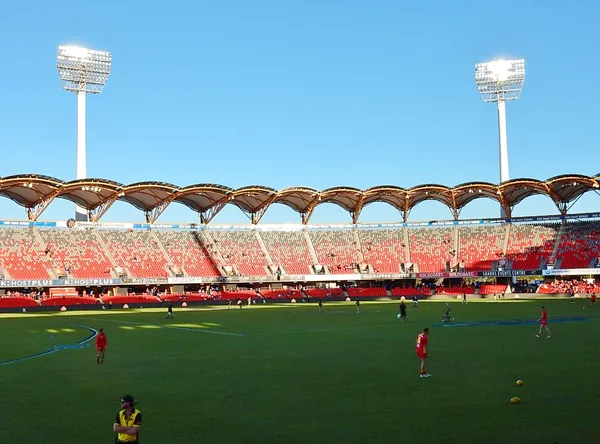
Emerald Energy and Arena Ambitions: Your Gold Coast Tuesday Briefing
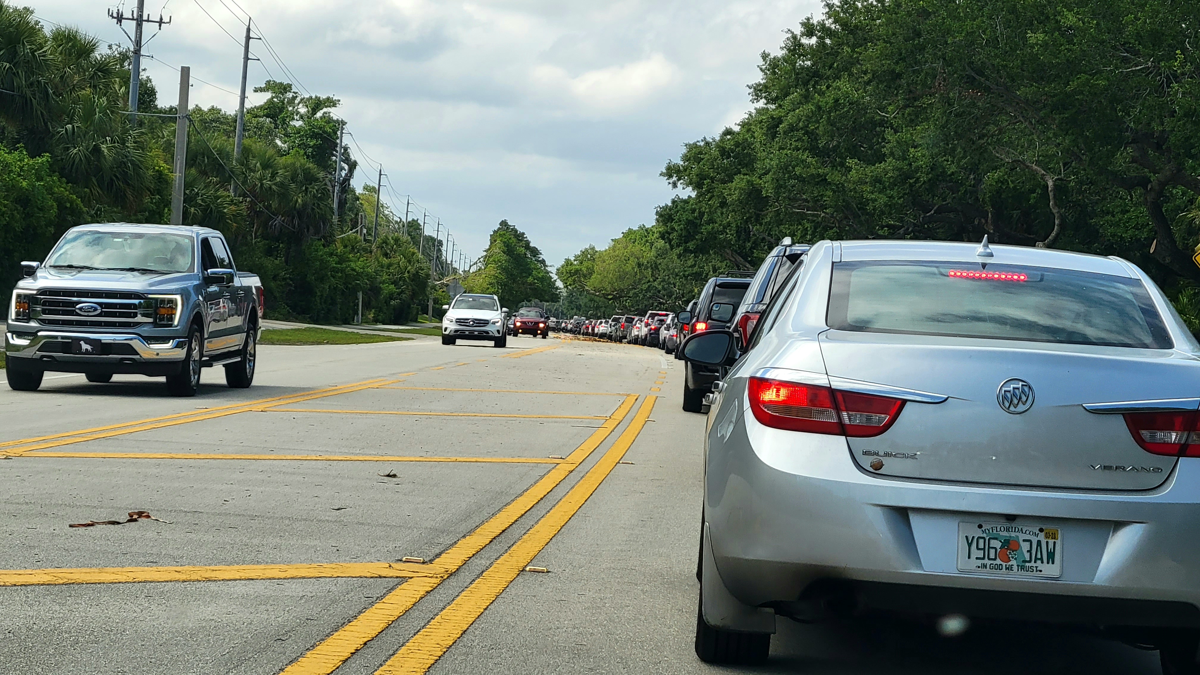
Heavy Coastal Congestion and Ridgevale Drive Closure: Tuesday Traffic Update