Morning Showers and Coastal Breezes: A Mild Start to March on the Gold Coast
Start of the Week Weather Overview
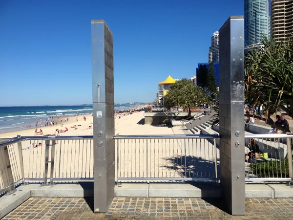
Gold Coast residents can expect a refreshing and slightly damp start to the week this Monday, 2 March 2026. As the region transitions into the first official week of autumn, the atmosphere remains influenced by lingering tropical moisture. Today’s forecast indicates a mix of sun and cloud, punctuated by passing showers that will likely affect the morning commute and early afternoon activities. While no severe weather warnings are currently in place, the shift in seasons is bringing a noticeable change in the local wind patterns.
Detailed Morning, Afternoon, and Evening Predictions
- Morning: The day begins with a high probability of light rain showers across the coastline and hinterland. Temperatures will hover around 21°C during the early hours, accompanied by light and variable winds. Commuters are advised to keep an umbrella handy as approximately 3.3mm of rainfall is expected to accumulate before midday.
- Afternoon: Conditions will stabilize somewhat as we move into the middle of the day. The mercury is set to reach a comfortable maximum of 27°C. While the sun will break through the clouds, the chance of a stray shower remains medium. Winds will strengthen, turning east to southeasterly at 15 to 20 km/h, providing a cooling effect for those outdoors.
- Evening: The showers are expected to clear by late evening, leaving partly cloudy skies. The temperature will dip to a pleasant overnight low of 20°C. Winds will once again become light, making for a calm and humid night across most suburbs from Ormeau down to Coolangatta.
Temperature, Humidity, and UV Safety
The thermal profile for today is typical for early March, with a predicted range between a low of 20°C and a high of 27°C. Humidity levels remain relatively high at approximately 77%, which may make the air feel slightly warmer than the actual recorded temperature. Despite the cloud cover and intermittent rain, the UV index is forecast to reach high levels during the middle of the day. The Bureau of Meteorology advises sun protection between 9:00 AM and 3:00 PM, even when skies appear overcast.
Wind and Marine Outlook
For those heading out on the water, conditions will be moderately active. In the Gold Coast waters, from Cape Moreton to Point Danger, southeasterly winds of 10 to 15 knots are expected, reaching up to 20 knots offshore during the afternoon. Seas are predicted to remain around 1 metre, though the easterly swell may create slightly choppier conditions near the seaway. Mariners should remain cautious of the shifting morning winds as they turn more definitively to the east.
The Seasonal Context
Today's weather occurs against the backdrop of a weakening 2025–26 La Niña event. The Bureau of Meteorology’s long-range forecast for Autumn 2026 suggests a return to ENSO-neutral conditions in the tropical Pacific. This transition typically results in a more stable climate for Southeast Queensland, though the early weeks of March often retain the high humidity and sporadic rainfall patterns seen throughout the preceding summer months.

St. Patrick’s Day Shenanigans and Cultural Highlights: Gold Coast’s Top Tuesday Picks

Emerald Energy and Arena Ambitions: Your Gold Coast Tuesday Briefing

Heavy Coastal Congestion and Ridgevale Drive Closure: Tuesday Traffic Update