Umbrellas and Zinc: Saturday’s Forecast Mixes Flood Watches with Extreme UV
Showers and Sunscreen: A Complex Saturday for the Gold Coast
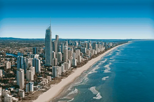
Gold Coast residents should prepare for a damp and humid start to the weekend this Saturday, March 7, 2026. As the autumn pattern settles in, the region faces a complex weather landscape featuring a combination of potential localized flooding and dangerously high UV levels. Whether you are heading to the beach or planning a hinterland hike, staying updated on the shifting conditions will be essential for a safe Saturday.
Temperatures and General Outlook
The mercury is expected to remain consistent with the seasonal averages seen throughout the week. Forecasts indicate a minimum overnight temperature of 23°C, climbing to a humid daytime maximum of 29°C. While the sun may peek through the clouds at intervals, humidity levels are projected to sit around 77%, making the "feels like" temperature significantly higher than the actual reading. There is a high 70% to 80% chance of rainfall, though total accumulations are expected to remain between 1mm and 5mm for most of the coastal strip.
Morning, Afternoon, and Evening Predictions
- Morning: The day will likely begin with partly cloudy skies and a medium chance of showers. Winds will start from the southeast at 15 to 20 km/h before shifting to an east-to-southeasterly direction, picking up speed to between 15 and 25 km/h by mid-morning.
- Afternoon: Humidity will peak during the afternoon hours, potentially bringing more frequent passing showers. Despite the cloud cover, the Bureau of Meteorology warns of an Extreme UV Index rating. Protection is mandatory for anyone outdoors between 9:00 AM and 4:00 PM.
- Evening: As the sun sets, the wind is expected to ease, becoming light. However, the likelihood of light rain increases overnight. Conditions will remain overcast and mild, providing a muggy end to the day with temperatures hovering in the mid-20s.
Active Alerts and Safety Notices
A significant Flood Watch remains in effect for Gold Coast Rivers and Creeks. This alert, which was initiated on Friday, is currently scheduled to remain active until at least 5:51 PM on Saturday. Residents in low-lying areas or those near waterways should remain vigilant for rising levels, even if local rainfall appears light, as catchment runoff from the hinterland can cause rapid changes to creek and river heights. Additionally, with the Extreme UV rating, sun protection is vital; the combination of high humidity and cloud cover can often lead to a false sense of security regarding sunburn risk.
The goldcoast.news team advises all locals and visitors to keep an umbrella handy and monitor official updates throughout the afternoon. While the rain might not be a total washout, the combination of flood watches and extreme sun makes for a day that requires careful planning and constant awareness of the environment.

Exclusive French Wine Dinner and Ancient Pompeii Exhibitions Highlight Monday on the Coast
Post-Slam Highs and Olympic Horizons: Your Gold Coast Monday Briefing

Monday Commute Alert: Heavy Delays on Gold Coast Highway and Rail Impacts Begin