Umbrellas at the Ready: Significant Rainfall Forecast for the Gold Coast This Sunday
Wet Weather Set to Dominate Sunday Outlook
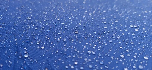
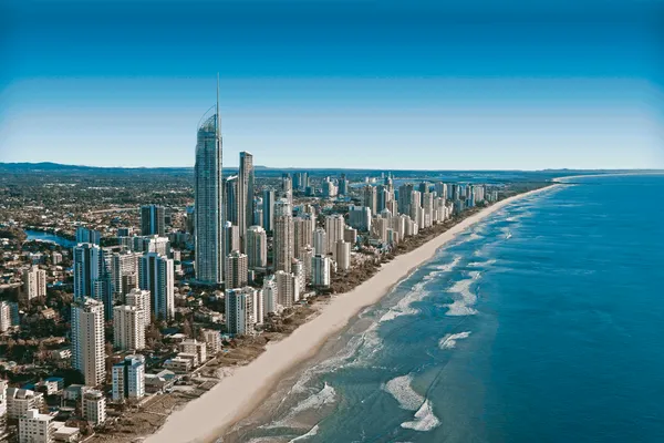
Residents and visitors across the Gold Coast are advised to keep their umbrellas within reach this Sunday, March 8, 2026. After a relatively mild Saturday, the local weather pattern is shifting significantly, bringing a high probability of rain and overcast conditions that will likely impact outdoor plans throughout the day. While temperatures remain warm, the high humidity will make for a damp and sticky end to the weekend.
Morning: Overcast Skies and Increasing Showers
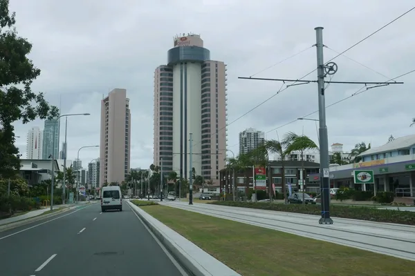
The day is expected to begin with heavy cloud cover across the region, from the northern suburbs of Hope Island down to the southern reaches of Coolangatta. Morning temperatures will start at a humid 23°C, with humidity levels peaking near 83%. Early commuters and surfers can expect light, intermittent showers starting from the early hours. While wind speeds remain relatively low at approximately 5 to 10 kilometers per hour from the northeast, the persistent drizzle will create slippery conditions on the roads, particularly along the Pacific Motorway.
Afternoon: Peak Rainfall and Tropical Humidity
As we move into the afternoon, the likelihood of more intense rainfall increases. Meteorological data suggests a 65% chance of precipitation during daylight hours, with some models predicting localized totals as high as 79mm in certain areas. The mercury is set to hit a maximum of 26°C to 27°C, though the lack of direct sunshine and the extreme humidity will provide little relief from the warmth. The atmosphere will feel particularly heavy, typical of the late summer-early autumn transition on the Coast. Flash flooding in low-lying areas is a possibility if the heavier rain cells manifest as predicted, so residents should remain vigilant near waterways.
Evening: Persistent Rain and Cooling Temperatures
The wet weather is not expected to clear as the sun sets. On the contrary, the chance of rain surges to 95% during the evening and overnight period. Although the intensity may dial back to light, consistent rain, the Gold Coast will remain under a thick blanket of clouds. Temperatures will dip slightly to a minimum of 22°C. While there are currently no formal gale warnings in place, the combination of wet asphalt and reduced visibility means extra caution is required for those traveling home late Sunday night.
Safety and Activities Advisory
- Avoid unsealed roads and be wary of water ponding on major thoroughfares.
- Ensure gutters and drains are clear of debris to manage the expected high rainfall volume.
- Outdoor events and markets are likely to be affected; check with local organizers for cancellations.
- High UV levels are still a factor behind the cloud cover; ensure sun protection if spending any time outdoors.

Exclusive French Wine Dinner and Ancient Pompeii Exhibitions Highlight Monday on the Coast
Post-Slam Highs and Olympic Horizons: Your Gold Coast Monday Briefing
Monday Commute Alert: Heavy Delays on Gold Coast Highway and Rail Impacts Begin